 |
 |
|---|---|
| Plate C-8 | Map |
|
|
|---|---|
| Plate C-8 | Map |
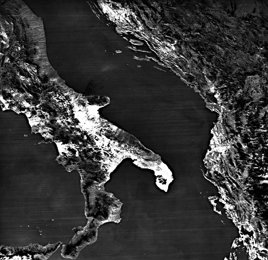
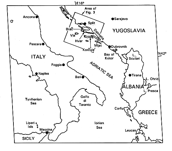
In the early part of the Mesozoic Era, some 200 Ma ago, an epicontinental ocean known as the Tethys stretched across southern Eurasia. Reef-building corals flourished in the warm Tethys Sea, and great thicknesses of limestone were deposited, interlayered with shale and sandstone. Later, these rocks were buried by younger sediments and folded into elongate anticlinal ridges and intervening synclines. During the main pulse of the Alpine mountain building, the fold belts were exhumed as the Dinaric Alps along the Adriatic south coast of Yugoslavia, seen in relation to the Italian coast to the west and the Albanian/Greek coast to its south in the HCMM image that makes up this Plate.
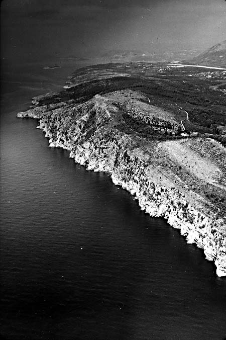
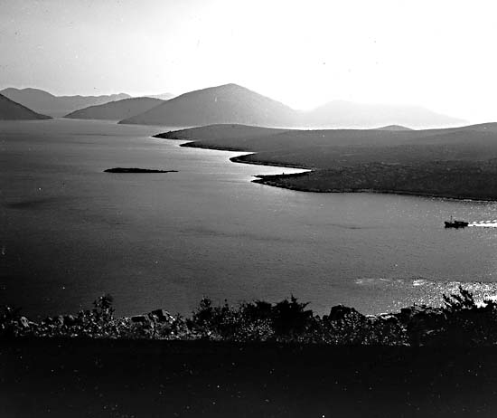
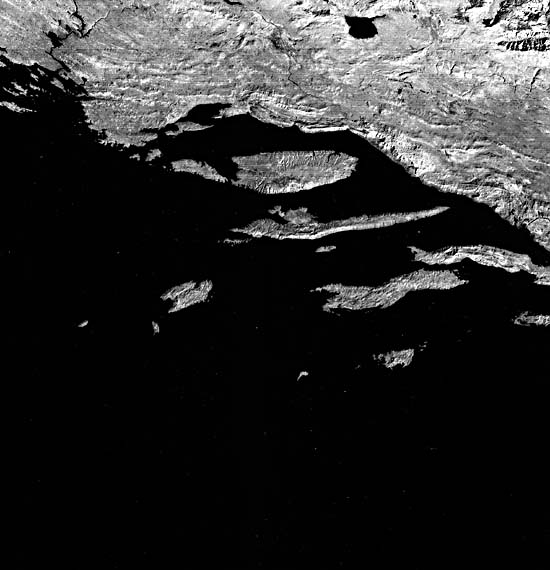
Limestone resists erosion in dry climates such as in the Mediterranean basin because most of the winter rain sinks underground. The landscape of the old district known as Dalmatia, now part of Yugoslavia, is the classic karst region of the world (Plate KL-5). The Dalmatian coast is, for the most part, a region of drowned karst. Aside from cliff cutting (Figure C-8.1), little marine modification of the subaerial karst landscape has occurred since it was partly submerged by the postglacial rise at sea level. Structurally controlled limestone ridges have been made into peninsulas and islands, evident along the coast near Dubrovnik (Figure C-8.2). Closely spaced gullies on the flanks of the ridges have been drowned to form other spectacular examples of skeleton islands (see Plate C-6 for a discussion of this phenomenon). The western end of Hvar Island and the small island west of it are the most notable examples (Landsat subimage, Figure C-8.3).
| Figure C-8.1 | Figure C-8.2 |
|---|---|
 |
 |
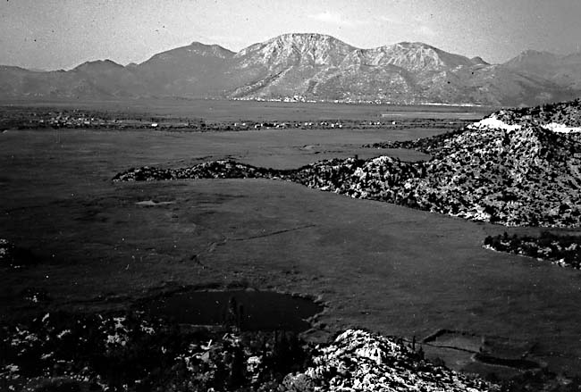
Millenniums of agriculture in the thin limestone soils of the Dalmatian coast have stripped off most of the soil, revealing the structural intricacies of the rocks. Except for grazing and small terraced gardens and vineyards, most agriculture is now restricted to the alluvial soils of narrow floodplains and river deltas that now form fertile valleys between mountains that rise above them (Figure C-8.4).
The gently arcuate trends of the Dinaric folds are clearly traceable from the Yugoslav mainland onto the peninsulas and islands (Figure C-8.1). Although the structural deformation of the Dinaric Alps is older than that of the Makran coast (Plate C-9), the lineations parallel to the present Dalmatian shoreline indicate that this is a tectonically active region. The tendency of the few drowned valleys to zig-zag between perpendicularity and parallelism to the coast is another variant of the ria coast described in Plate C-7.
| Figure C-8.3 | Figure C-8.4 |
|---|---|
 |
 |
Except for small gravel spits and tombolos, there are no broad beaches along the Dalmatian coast. Because the limestone terrain is weathered primarily by solution, rivers do not carry sand and gravel to the sea. Furthermore, many of the rivers that drain the Dinaric Alps alternate between surface flow across alluvial plains and subsurface flow through cavern systems. The karst hydrology of the region is extremely complex, so that blockage of an underground channel can flood an alluvial valley for a year or two until the obstruction suddenly clears. The combination of a lack of alluvial sediments delivered to the coast by rivers and the lack of effective wave action on this narrow inland sea is not favorable for constructional coastal landforms. HCMM 0170-12020-2, October 13, 1978
Continue to Plate C-9| Chapter 6 Table of Contents.| Return to Home Page| Complete Table of Contents|