 |
 |
|---|---|
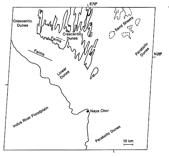
| Plate E-21 | Map |
|
|
|---|---|
| Plate E-21 | Map |
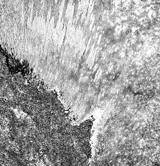
The Thar Desert includes a 214 000-km2 sand sea on the ancient alluvial plain of the Indus River in Pakistan and western India (Petrov, 1976). The desert is bound on the east by the Aravalli Range and on the west by the present Indus River floodplain. Canals that irrigate the farmland on the floodplain are easily seen in the Plate image.
The Thar is a monsoon desert. As described by Wasson et al. (1983), summer heating of the northern Indian subcontinent leads to an intense low-pressure zone fixed in position by the Himalayas. Because an air-pressure gradient is established, air and moisture are drawn from the south across the continental low. In September, wind direction changes, and the northeast monsoon begins. Winter circulation consists of outflow from a cold continental anticyclone. Temperatures and wind speed reach their maximum in May and June, with maximum rainfall in July and August. The average annual rainfall in the Thar ranges from less than 100 mm in the northwest to more than 400 mm in the southeast (Breed et al., 1979a). The strong winds of June and July are unidirectional over the Thar and are not impeded by rain.
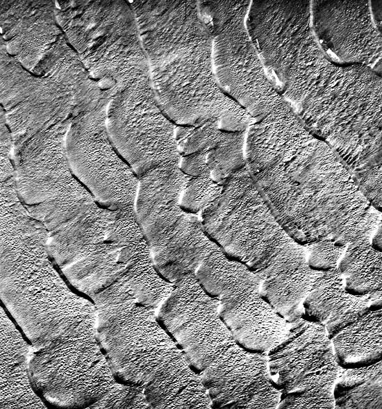
Crescentic, linear, and parabolic dunes are visible in this image of the Thar. Compound parabolic dunes with many arms have been observed by Breed et al. (1979a) only in the Thar Desert. These dunes are particularly sharp northeast of Naya Chor near the center of the Plate. These investigators refer to compound parabolic dunes linked to adjacent dunes or with many arms as rake-shaped clusters. Parabolic dunes develop in areas where their arms are anchored by vegetation. Compare the dark vegetated parabolic dunes on the right center of the Plate with the light nonvegetated crescentic dunes in the upper left. Wasson et al. (1983) report that the dunes are 10 to 70 m high. They average 2.6 km long and 2.4 km wide (Breed et al., 1979a).
| Figure E-21.1 | Figure E-21.2 |
|---|---|
 |
 |
Linear dunes, some up to 30 m high, occur west of the parabolic dunes. Wasson et al. (1983) consider these linear dunes to be complex because crescentic dunes with convex centerpoints perpendicular to the southwest summer monsoon winds are superimposed on their crests and upper flanks. These secondary dunes are not visible in this scene. As reported in Wasson et al. (1983), some investigators conclude that the linear dunes are derived from parabolic dunes by the winds eroding their noses. Some linear dunes may originate from a lee-side mound of unconsolidated material on the northeastern side of the Hakra Channel. The channel is an inactive distributary of the Indus on the floodplain in this image Linear dunes extend downwind from the mound.
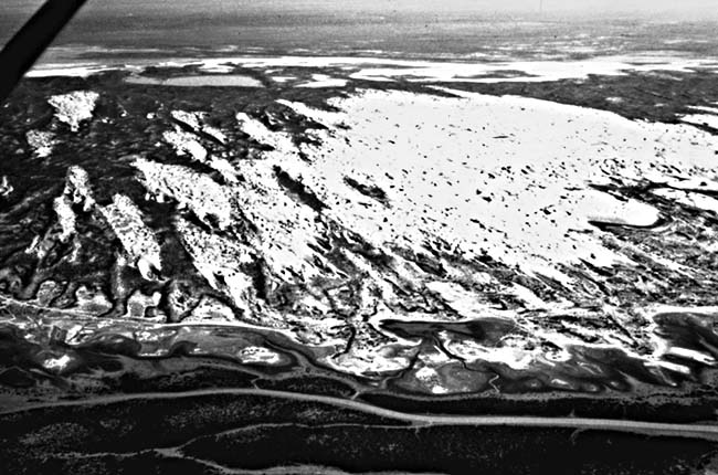
In the upper right of this Plate are small patches of sand sheets. West of the sand sheets are zones of nonvegetated crescentic dunes. Breed et al. (1979a) suggest that these are areas of modern eolian activity. In keeping with the wind regime of this desert, the crescents point in a northeast direction. Figure E-21.1 is an oblique aerial photograph of a cluster of small compound crescentic dunes west of the Plate scene. Small interdunal lakes are at some of the contacts between the linear and the crescentic dunes. The lakes are generally among the linear dunes, but a few exist within the crescentic dunes.
| Figure E-21.3 |
|---|
 |
The small squares among the dunes in the upper left of the Plate are small farms (about 1 km2 in area) irrigated by wells. Trees planted at the edges of the farms to protect the area from the wind may account for what is imaged on Landsat. That they are aligned in the same direction may indicate structural control of the ground water.
Figure E-21.2 is a vertical aerial photograph of a 10-km wide dune field west of this Plate. The slipfaces of these 1-km wavelength coalescing crescentic dunes are toward the northeast. Small interdunal sabkas are adjacent to some of the slipfaces in the upper right. Many blowouts are on the gentle faces of the dunes.
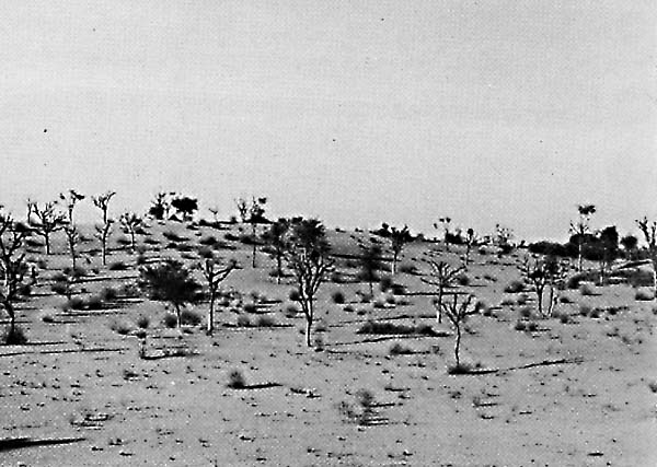
By using archaeological, thermoluminescence, and radiocarbon dating methods, Wasson et al. (1983) determined that dunes in the Thar Desert were stabilized during the Middle to Late Holocene. They consider that the dunes started accumulating during the last glacial maximum under the influence of a weak monsoon circulation. As the Earth warmed after the glaciation, the monsoon was reestablished, leading to stabilization. They also suggest that the dunes were partially vegetated during their formative phases. An example of semifixed dunes northeast of the Plate scene appears in Figure E-21.3. Landsat 20781-04533-7, March 13, 1977.
Continue to Plate E-22| Chapter 8 Table of Contents.| Return to Home Page| Complete Table of Contents