 |
 |
|---|---|
| Plate I-3 | Map |
|
|
|---|---|
| Plate I-3 | Map |
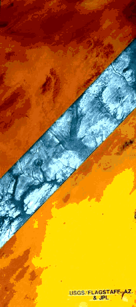
This scene is a strip of SIR-A radar imagery placed over a Landsat-simulated, true-color image of the Selima Sand Sheet region in northwestern Sudan. The study area is located in the core of the largest expanse of hyperarid terrain on Earth. It lacks surficial traces of active fluvial processes and is dominated by eolian erosional and depositional features. The bedrock is predominantly Cretaceous Nubian sandstone overlying Precambrian granite of the African Shield.
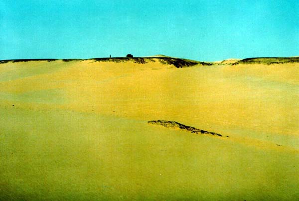
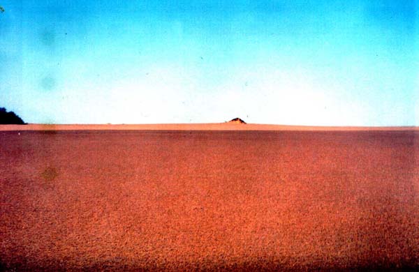
The radar penetrated up to several meters of extremely dry drift sand to reveal previously unknown buried valleys and other relict fluvial features (McCauley et al., 1982). The valleys seem to be a part of Late Tertiary systems that drained the eastern Sahara during relatively wet conditions before the onset of general aridity in the Pleistocene. The bright responses on the radar images consist of very rough bedrock surfaces, such as the former valley walls (Figure I-3.1). Note that ground photographs (Figure I-3.1) convey little impression of the relict fluvial networks that characterize the regional terrain.
| Figure I-3.1 |
 |
|---|
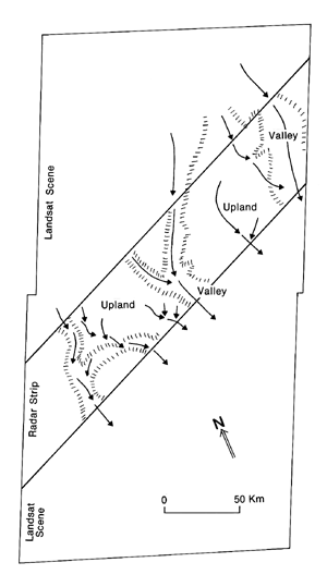
The dark areas on the radar images can be considered "radar- smooth" because they reflect incident radar waves specularly in a direction away from the receiver. Excavation during field exploration has shown that these areas of the Selima Sand Sheet are underlain by thick alluvial fills of sand and gravel (McCauley et al., 1982). Drainage was locally from the Gilf Kebir Plateau, which lies to the northwest of the study area. The southeastward-flowing streams established their courses by Late Tertiary time, before the reorientation of drainage northward by the Nile River systems in the Quaternary.
Some of the alluvium-filled valleys are nearly as wide as the modern Nile Valley. Underfit and incised dry wadis are locally superimposed on the large valleys. In places, the old Tertiary drainage lines are marked by playas, many of which are now buried by active sand. It is believed that the wadi and playa activity represents pluvial episodes of the Quaternary. The radar imagery has been used to map these pluvial features in order to locate evidence of occupation by early man in migration routes northward across Africa.
| Figure I-3.2 | Figure I-3.3 |
 |
 |
|---|
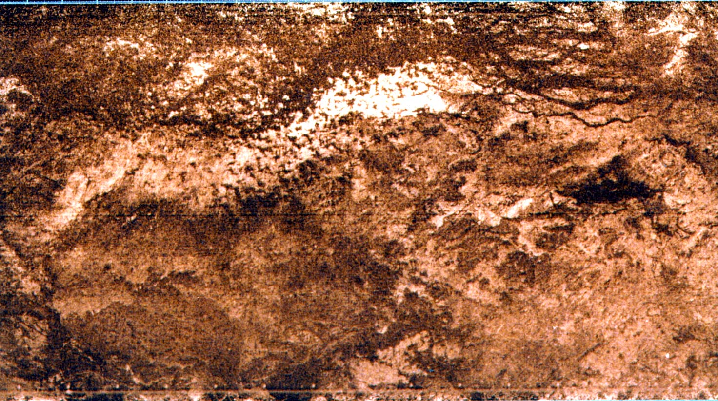
Figure I-3.2 shows an area 400 km northeast of the region discussed above. This area is on the eastern edge of the Selima Sand Sheet. Note the braided river channels near the top right. These relict features are completely concealed beneath the sand sheet. The direction of former streamflow seems to have been from left to right (eastward). To the south of the channels are wind-eroded bedrock outcrops that give a bright radar response. "Tarfa" (Tamarisk sp.) vegetation grows along some of the relict channelways. This vegetation survives in a hyperarid precipitation regime by tapping shallow ground water with deep roots. Figure I-3.3 shows two small sand mounds in this area caused by the trapping of windblown sand by these plants. The radar-located channels have proved to be valuable ground-water reservoirs. SIR- A Radar Image, November 1981.
Continue to Plate I-4| Chapter 1 Table of Contents.| Return to Home Page| Complete Table of Contents